£95
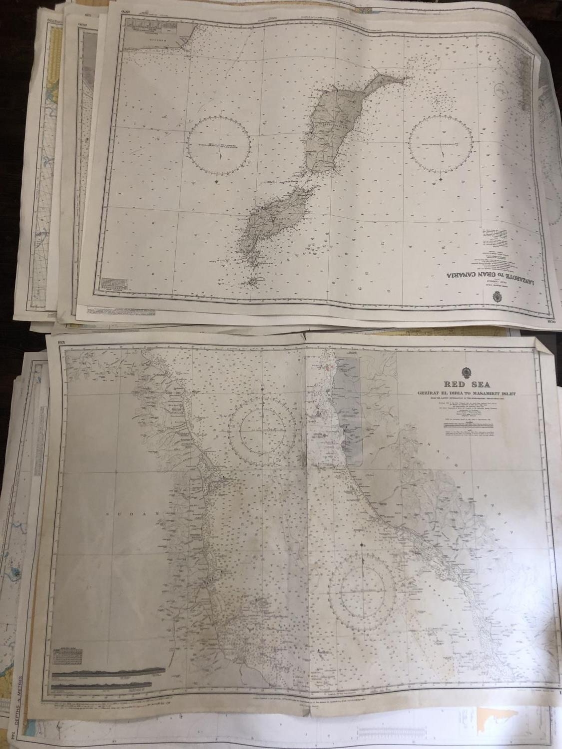
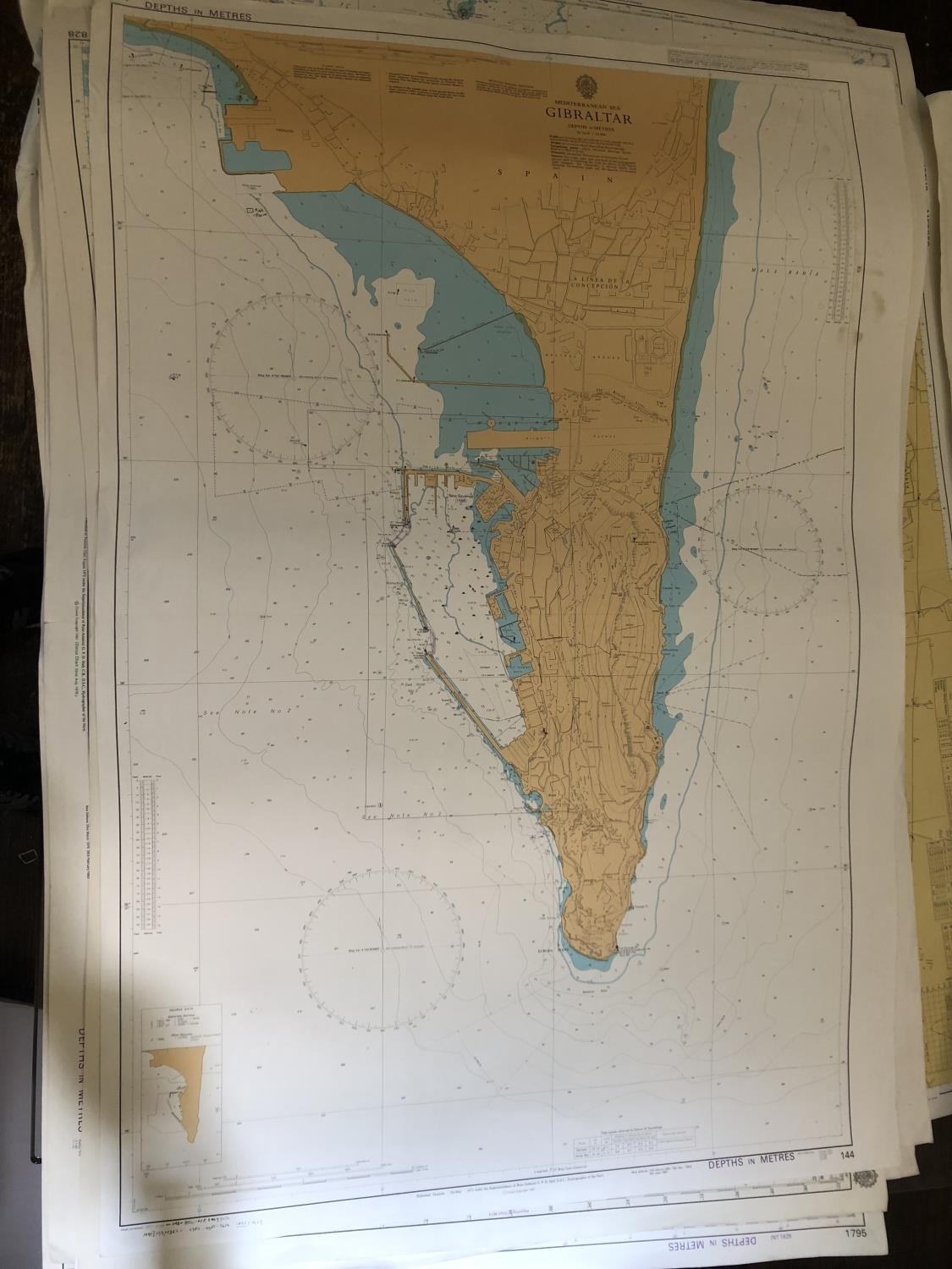
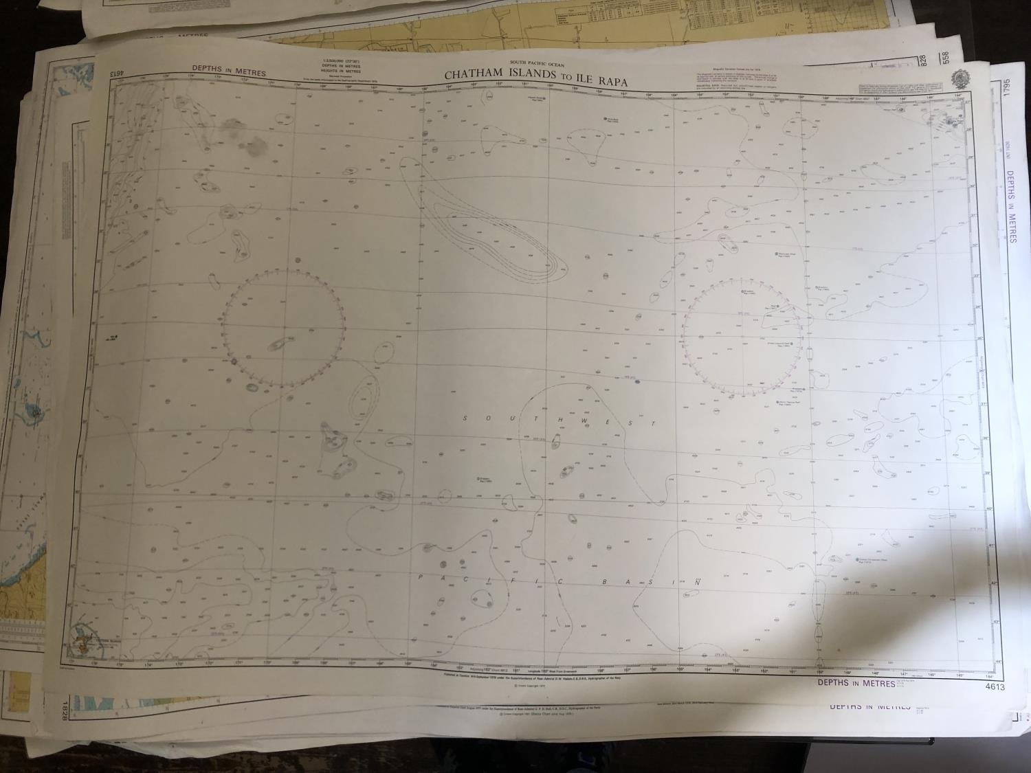
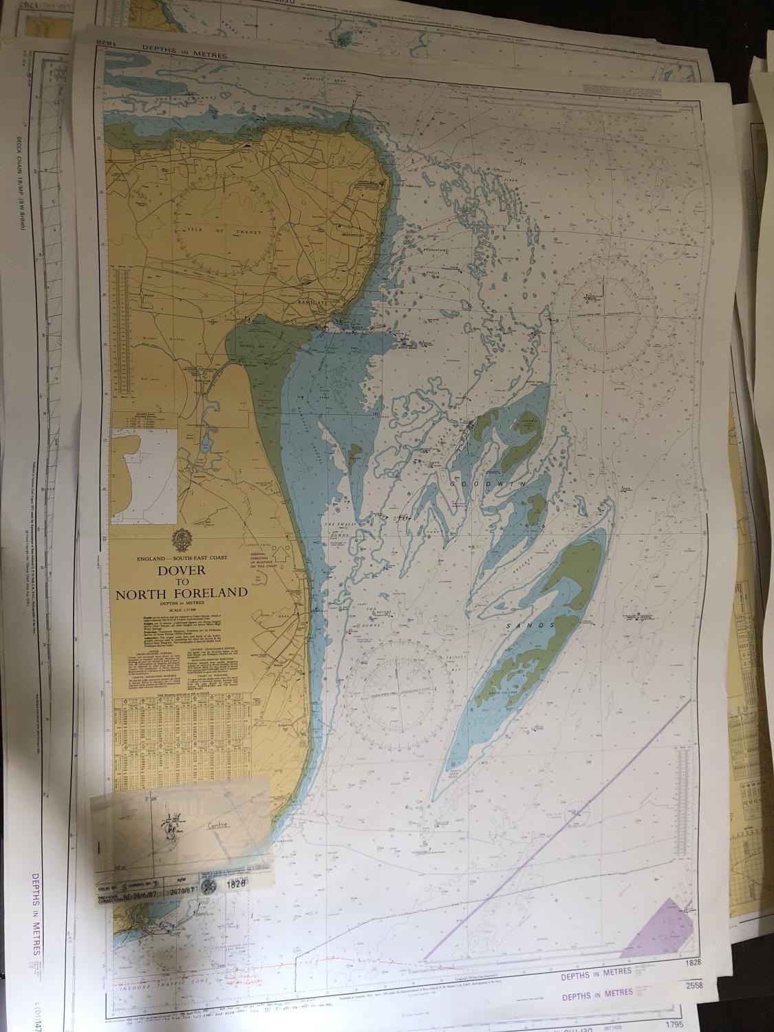
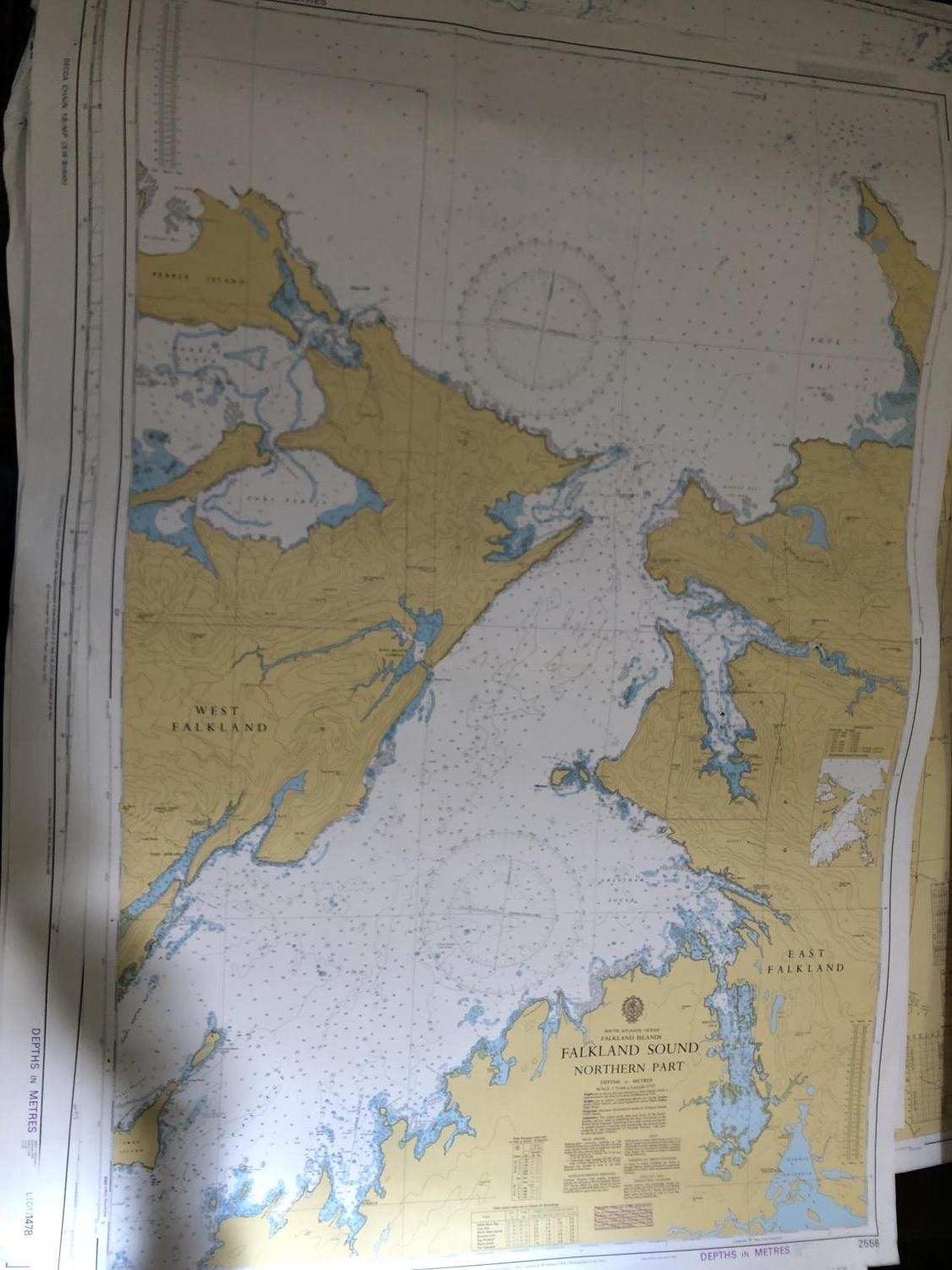
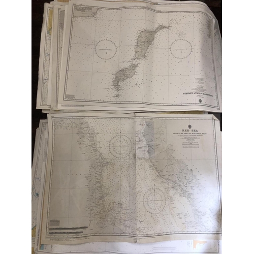
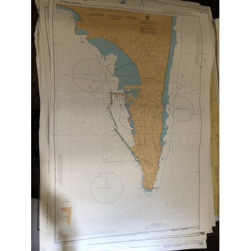
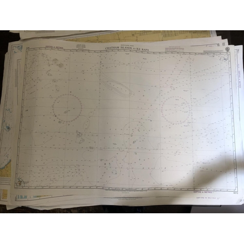
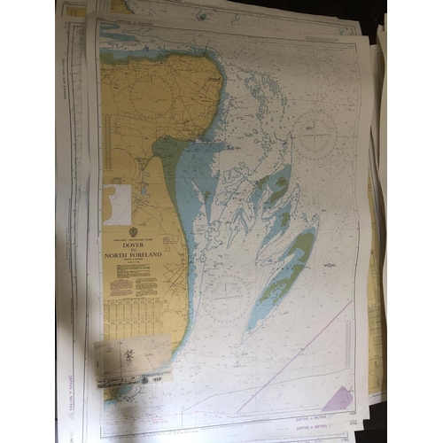
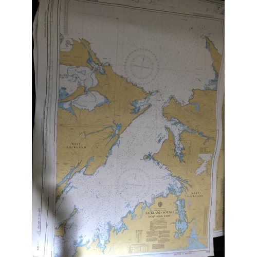
A collection of nautical and navigational maps of different coastlines, to include: Ireland, Wales, Scotland, England, Gibraltar, the Red Sea and many others, published by the International Chart Series, approx. 104 x 71 cm (30)
Fees apply to the hammer price:
Room and Absentee Bids:
24% inc VAT*
Online and Autobids:
27.6% inc VAT*